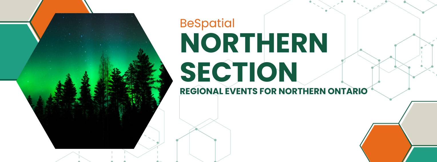
Upcoming events

Breaking News

Follow Us

Twitter Feed

Menu
Log in

BeSpatial Logo


First 20 registrations entered into a draw for a $100 Visa Gift Card
All registrants entered into a draw for $50 Amazon Gift Card

Day's Schedule

    • KEYNOTE - KPMG/Environics - Casey Price and Eugene Chan; Big data & GIS: Collision or Collaboration?

    • Confederation College - Raquel Glavish and Marcello Pettenuzzo; Selecting Locations for Pedestrian Crosswalks for the City of Thunder Bay 

    • First Base Solutions / JD Barnes - Joseph Ababio; Data Capture from the Ground to the Sky: Revolutionizing Land Surveying with Aerial Advancements and the Future Frontiers in Geospatial Intelligence

    • CRIBE - Sarah Benčić; GIS for NetZero Solutions in Our Changing Reality. 

    • CE Strategies - Rylie Nellis and Ericka James; Emergency Management Shifting to a Digital Environment

    • Airborne Imaging - Susan Muleme Kasumba; MNRF GeoHUB LiDAR Review; data to manage chaos

    • Multiple Speed Networking Events throughout the day


Presenter Bios

Keynotes

Casey PriceSenior Vice President, Partnerships and Extended Channel works collaboratively with both software and data partners to ensure Environics Analytics has access to the best the industry has to offer. Working with partners and client alike, Casey also helps illustrate how clients can make the best use of Environics Analytics tools to address current market challenges. If solution gaps exist, he will influence new product design to meet current and future needs. With more than 30 years in the marketing analytics industry, with expertise in consumer segmentation, predictive analytics, site selection, and business development. Prior to joining Environics Analytics (EA), he held executive-level positions at Pitney Bowes/ MapInfo, Equifax and Compusearch. While at EA Casey has helped create and centralize the training and support team and has led the USA-based business. More recently he led Product Management when several new products were conceived and introduced. The recipient of a Bachelor of Applied Geography degree from Toronto Metropolitan University, he is a regular conference speaker and author of numerous whitepapers on industry topics.

Eugene Chan,  Executive Director, Deal Advisory Analytics at KPMG has over twelve years of advisory experience in both KPMG’s Deal Advisory and Management Consulting practices where he has provided financial, commercial, operational due diligence, and corporate and operational strategy services in a variety of sectors. Eugene’s current focus is to apply KPMG’s Data & Analytics platform within the Deal Advisory environment to address and analyze business trends, identify opportunities and support value creation, and investigate investment considerations for each transaction and industry. This work could involve applying a range of descriptive and predictive analytics utilizing both internal and external data, proprietary and third-party tools, and machine learning / AI models to drive insights at deal speed. 

Session Presenters

Raquel Glavish, Professor, Confederation College 

As a mother of two active children, an educator at Confederation College and a Professional Engineer - moving people through spaces has always been fascinating for this nature lover. The social implications of engineering concepts are often not fully evaluated as we tend to lean on guides and standards of current practice. Traditionally, transportation design has focused on vehicle's moving  people and goods through cities - but does this current practice create inclusivity, accessibility and promote diversity within communities? Balancing optimal designs and their implication on the environment, health, personal lifestyles, and community members are critical in engineering concepts. Connecting with young professionals who are curious enough to evaluate the current practices and envision what their future community looks like keeps me imagining what our City can evolve into. 

Marcello Pettenuzzo, Student, Confederation College

Marcello is a GIS technician at Confederation College for a student research team. With a background in forestry, his passion for GIS and land management was developed through exploring geospatial solutions toward positive landscape changes within our local communities. Gaining a foundational knowledge through his experience he continues to develop his technical skills with the goal of creating community oriented spaces based on informed practices

Rylie Nellis, Business Operations Manager, CE Strategies

Rylie has a background in GIS & geomatics from both Lakehead University and Fleming College. She started out as a GIS Technician helping CES create customized strategies to facilitate positive change in local communities. She has since developed a keen eye for project management and coordination, and leverages this experience in her role as the Business Operations Manager. Rylie continues to provide out-of-the-box solutions to support both our staff and our clients with successfully completing a wide range of projects.

Ericka James, GIS Manager, CE Strategies

  • Ericka’s passion for GIS sparked during her studies in Environmental Science at the University of Alberta, and led her to completing a MSc in Geography at Western University. She has worked extensively with wetlands and forests, gaining the practical knowledge that is essential to a strong foundation in understanding land and resource management. At CES, Ericka uses her GIS and environmental experience to provide well-informed and scientifically sound solutions for communities. Considering herself a lifelong learner, she is constantly working to develop her professional and technical skillsets, and loves exploring innovative new technologies that can support her work.


Joseph Ababio, Project Supervisor (J.D. Barnes - Thunder Bay)

Joseph is a Geomatic Engineer, currently working as a project supervisor for J. D. Barnes Limited. With an extensive background in Survey Engineering, Cadastral Surveys, Mine Surveys, and GIS, Joseph has applied his expertise across a broad  range of disciplines within the Geomatics field. Having pursued and attained degrees and certifications from various institutions across North America, Europe, and Africa, he has obtained international knowledge in areas such as Geomatics, Project Management, Leadership, Health and Safety, Business Development, City Design, Geospatial Intelligence, and Community Engagement.

Joseph’s interest in the practical application of Geospatial data led to his first paper publication titled "Change Detection Analysis on the Impact of Illegal Mining (Galamsey) in Ghana: A Case Study Focusing on Land Cover Changes in Some Selected Districts within the Ashanti and Central Regions," accepted at the International Federation of Surveyors (FIG) conference in Istanbul in 2018.

As a licensed Ontario Land Surveyor and Canada Lands Surveyor, Joseph's working experiences in both Canada and Ghana have shaped his strong belief in and advocacy for the adoption of diverse and inclusive approaches to the datasets used in geospatial analytics, as such practices are crucial in fostering informed decision-making processes that contribute to nation-building. 

Sarah Bencic, Program and GIS Innovation Coordinator, CRIBE

Sarah is a multi-disciplinary GIS and environmental professional with a great eye for cartography, design, and compelling analysis, and years of experience in the Silviculture, Forestry, and Energy sectors. Sarah is passionate about working with our Next for partners to configure new tools and datasets that support geospatial decision-making with our partners in Ontario and around the world. Sarah loves the Thunder Bay region and is very excited to see positive change and growth in the space of bio-economy. 

Susan Muleme Kasumba, Director of Business Development, Airborne Imaging

Susan has been working in geospatial since graduating from the Cartographic Technologist Program at Sir Sandford Fleming in 1998. Her career has taken her from GIS Software in the private sector to cartographic map production at Western University, and even photogrammetric map production. Susan is currently the Director of Business Development at Airborne Imaging (a Barr GeoSpatial Company), Canada’s largest airborne LiDAR provider. She is also the current Past-President and Manager of Strategy & Outreach of BeSpatial. Susan lives in Ottawa with her husband, two boys, and their hamster, Turtle and cat Ibiza. 

Your contribution plays a crucial role in supporting this geospatial and information community event and ensuring its success.

If you have questions or dietary restrictions, please contact: Angela MacEachern 

Sponsors


About Us

We are recognized as the premier geospatial and information non-profit organization in Ontario. where members share their experiences through networking and program events for the use and integration of spatial data, information, applications and technologies that provide solutions and solve challenges in both the public and private sectors.


Become a Member

Show your commitment to the Geospatial Community by joining us. Be part of a dynamic geospatial and information community whose mandate is to advance the effective application of spatial and information to enable business services and decision making.  

MEMBER BENEFITS

 Education and research.

 Networking.

 Discounts and member-only events.

Find Us

Contact: INFO

BeSpatial Logo

Powered by Wild Apricot Membership Software